Wilderness is the Garden Route village people picture when they say they want the coast without the crowds. This Wilderness travel guide covers a small village about 15km east of George, wedged between the Outeniqua Mountains and a long, wild beach, with a chain of lakes and lagoons threaded through indigenous forest behind it. There's no marina, no big hotel strip, no traffic. Just a great deal of water, and forest that runs right up to the back gardens.
I've always thought of it as the Garden Route's exhale. You come off the N2, drop down the Kaaimans River Pass, and the pace changes. This is the town for slow mornings, forest walks that end at a waterfall, and afternoons watching paragliders drift off the hills above the sea. It's the quiet centre of the Garden Route, and it rewards anyone who slows down enough to notice it.
This guide covers the lot — where Wilderness is and how to get there, the national park and its lakes, the Kingfisher trails, the beach, the Map of Africa viewpoint, the historic Kaaimans bridge, the ancient Woodville Big Tree, and where to actually stay.
Where Is Wilderness? Location & Getting There
Wilderness lies on the N2, between George to the west and Sedgefield to the east. Visit George, the official tourism portal, puts it plainly: "Wilderness is situated between George and Sedgefield." It's roughly 15km east of George, and the approach is part of the appeal — the N2 crosses the Kaaimans River Pass, a tight, cliff-hugging descent that hands you your first look at the coast.
The nearest airport is George (GRJ), about 23.5km away — a 19-minute drive. That makes Wilderness one of the easiest Garden Route towns to reach by air: land at George, pick up a car, and you're at the beach inside half an hour. From further afield, it's the natural first or last stop on the drive along the N2 between Cape Town and the Eastern Cape.
You'll want a car here. Public transport along the Garden Route is thin, and Wilderness spreads its attractions — the lakes, the forest trails, the Map of Africa viewpoint — across a fair area. A hire car turns a good trip into an easy one.
Garden Route National Park — Wilderness Section
The reason Wilderness feels so green is that a national park runs straight through it. The Wilderness section of the Garden Route National Park protects a remarkable lakes-and-rivers system: the Touw River, the Serpentine, and a string of lakes — Island Lake (Eilandvlei), Langvlei, Rondevlei, Swartvlei, and more — all linked and all fringed with reed beds and forest.
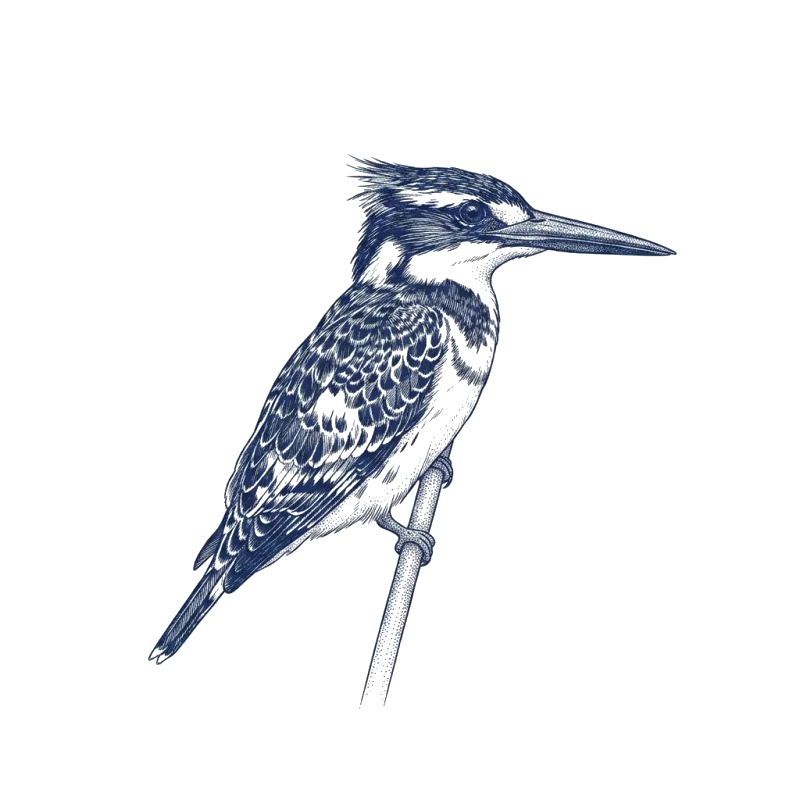
There's real conservation history here. The former Wilderness National Park was proclaimed in 1987, then folded into the larger Garden Route National Park in March 2009, alongside the Knysna National Lake Area and Tsitsikamma. The wetlands matter beyond South Africa, too: the Wilderness Lakes were designated a Ramsar Wetland of International Importance on 28 June 1991. More than 262 bird species have been recorded in the park, including five kinds of kingfisher.
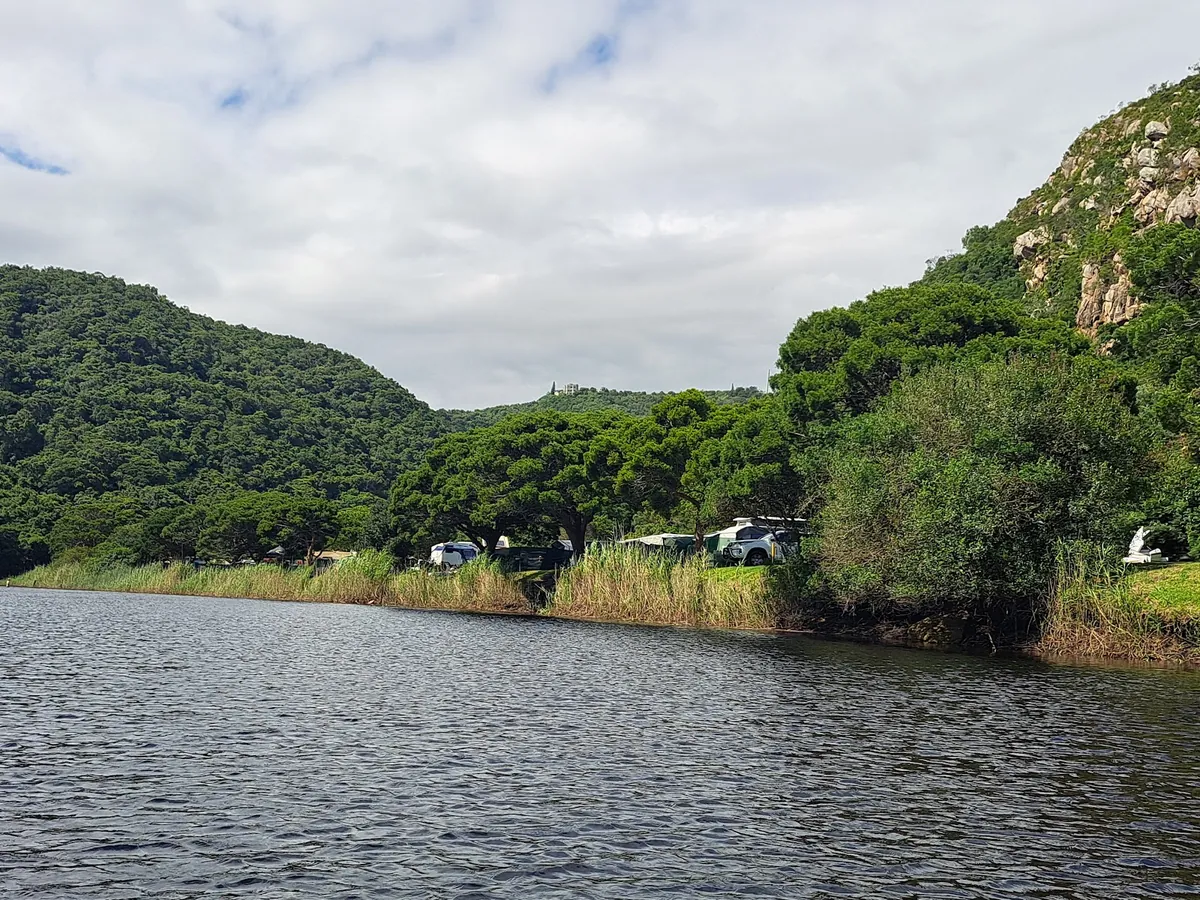
The hub of it all is Ebb-and-Flow Rest Camp, on the banks of the Touw River. It's the main visitor node — accommodation, two camping areas, a day-visitor picnic spot, and canoe hire for exploring the river. A conservation fee applies (it's free for Wild Card members), and it's worth knowing before you arrive that the whole park is cashless: bring a card, because permits and fees are card-only.
Hiking the Kingfisher Trails from Ebb-and-Flow
The signature walk here is the Half-Collared Kingfisher Trail, and it's one of the best easy hikes on the Garden Route. It starts at Ebb-and-Flow North and runs as an 8km out-and-back (4km each way), taking two to three hours. You follow the Touw River upstream through forest, crossing the water by stepping stones or a hand-pulled pontoon, along boardwalks that open onto quiet river views. It ends at a waterfall with pools deep enough for a dip — pack swimwear.
There's a lovely twist to it. Instead of walking the whole way, you can hire a canoe from Eden Adventures at Ebb-and-Flow South, paddle upriver to where the water turns shallow, beach the canoe, and finish on foot along the boardwalk to the same waterfall. Canoe out, walk in — it's the most enjoyable way to do it.
Note the naming, because it confuses people. The western-bank section is the Half-Collared Kingfisher Trail; once you cross the Touw by pontoon, the eastern-bank continuation becomes the Giant Kingfisher Trail. Same river, two kingfishers. Day-hike permits don't need pre-booking, but remember the park is cashless.
Wilderness Beach & the Kaaimans River Mouth
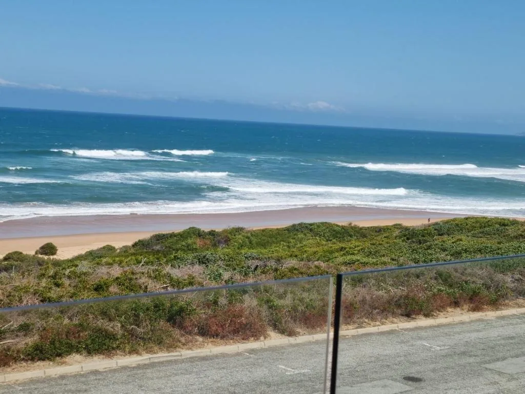
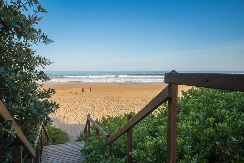
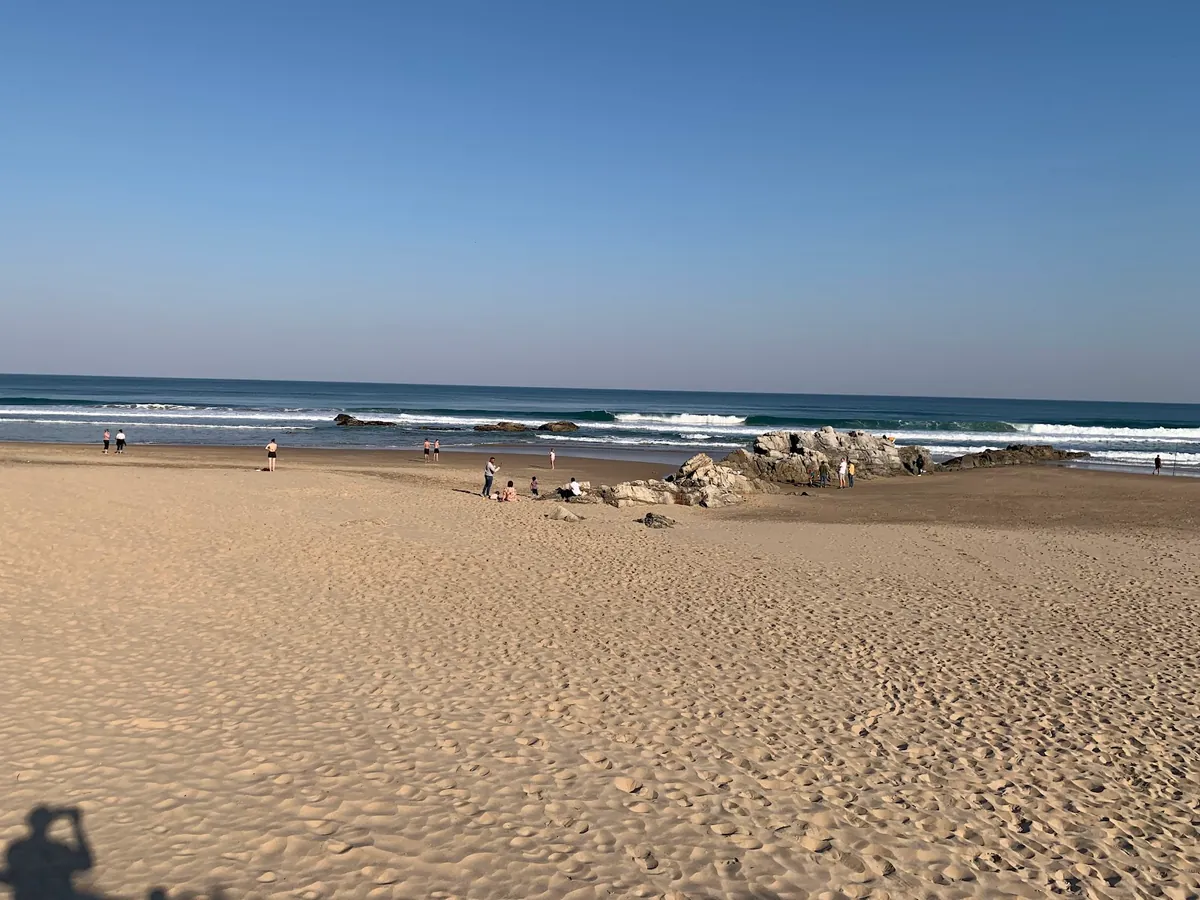
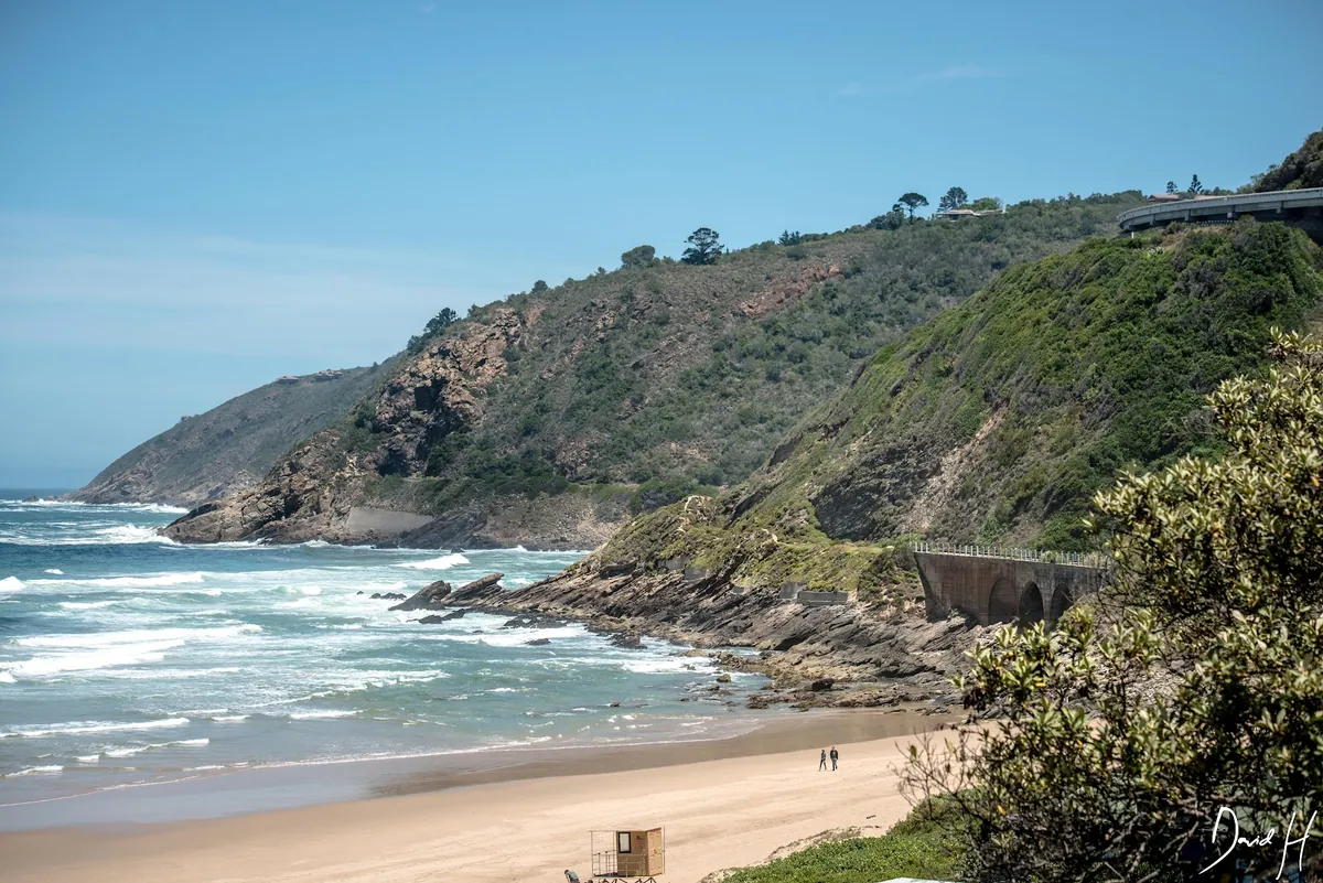
Wilderness Beach is the big, wild draw — roughly 8km of sand running from the Kaaimans River mouth in the west to the Serpentine in the east, backed the whole way by forested cliffs. It's broad, uncrowded, and genuinely beautiful, the kind of beach where a morning walk turns into two hours without you noticing.
It's also official: Wilderness Beach was awarded full Blue Flag status for the 2025/26 season, one of three George beaches (with Herold's Bay and Victoria Bay) to earn the accreditation. Blue Flag means monitored water quality, safety standards, and lifeguards on duty in season.
One honest word of caution, straight from George Municipality. Wilderness Beach has rip currents — the NSRI has even used harmless green dye here to show swimmers how they pull. The official advice is simple and worth repeating: swim at a lifeguarded beach, swim between the lifeguard's flags, and if lifeguards aren't on duty, it's safer not to swim. The beach is for everyone; the open surf demands respect.
The Map of Africa Viewpoint & Paragliding
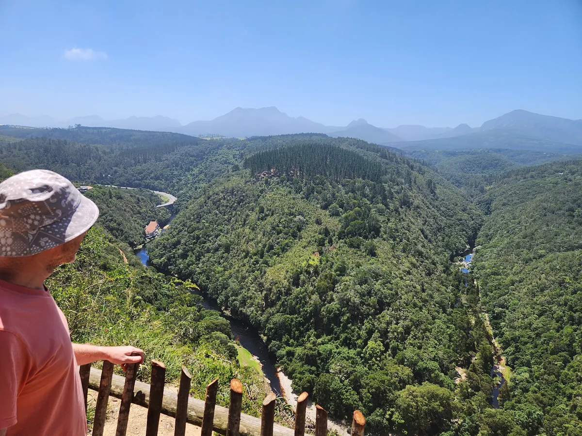
Drive up into Wilderness Heights and you reach the town's most photographed spot: the Map of Africa. From the viewpoint, the Kaaimans River loops through the forested valley below in a bend that — from up here — looks uncannily like the shape of the African continent seen from space. It's a genuine "oh, I see it" moment, and it costs nothing.
Across the road is one of the best beginner-friendly paragliding launches in the country. The site sits about 153m above the waves, with a mellow, forgiving take-off and a view straight out over the Indian Ocean and the length of Wilderness beach. Several operators run tandem flights, so you don't need any experience — you're strapped to a qualified pilot and you run a few steps off the hill. If you've ever wanted to try it, this is the place.
Getting up there is easy: a short drive up Hoogte Road from the village, or off the Seven Passes Road. The last stretch is gravel but well kept.
Kaaimans River Pass & the Historic Railway Bridge
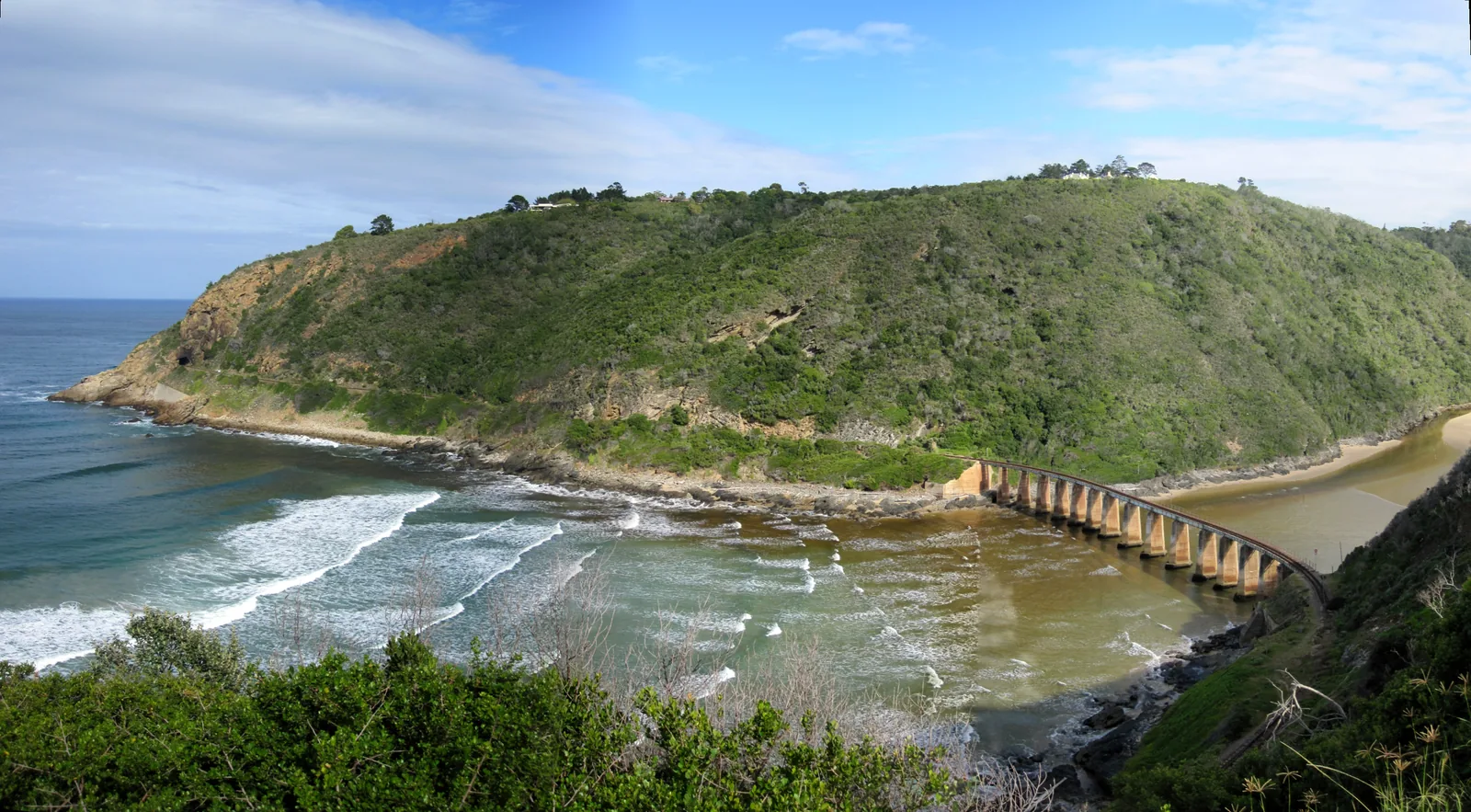
If one image says "Wilderness", it's the curved railway bridge arcing across the Kaaimans River mouth where it meets the sea. The 210-metre bridge entered service on 30 November 1928, and for decades it carried the Outeniqua Choo-Tjoe steam train on its run between George and Knysna — a 67km journey along the coast that, by the early 2000s, was pulling 115,000 passengers a year, most of them foreign tourists.
The line closed in August 2006 after heavy floods damaged sections of track. But the bridge itself has been recognised for what it is: it was declared a Western Cape Provincial Heritage Site in December 2021. And there's real hope on the horizon — in October 2025, Classic Rail announced it had secured funding to rehabilitate the George–Knysna line and relaunch the Outeniqua Choo-Tjoe, starting with the Knysna–Sedgefield section.
The river's name has a story too. "Kaaimans" comes from the monitor lizard (kaaiman) once found here, and the old travellers nicknamed it "Keeromrivier" — Turnabout River — because when the water ran high, you simply had to turn around and find another way. Today the N2 crosses it on the pass, and the view down to the bridge and the surf is one of the finest on the whole route.
Woodville Big Tree & the Outeniqua Forest
A short drive inland, in the forest towards Hoekwil, stands one of the Garden Route's living giants. The Woodville Big Tree is an Outeniqua yellowwood (Podocarpus falcatus) estimated at over 800 years old — around 33 metres tall, with a 12-metre circumference and a crown spreading 34 metres wide. Yellowwood is a protected tree under the National Forest Act, and standing beneath one this old is a genuinely humbling few minutes.
The best part is how easy it is to reach. A gentle 2km circular boardwalk loops through the indigenous forest to the tree and back — flat, shaded, and alive with birds, ferns and fungi. It's the kind of walk that suits everyone from toddlers to grandparents, and it's a lovely counterpoint to a beach day: cool, quiet, green light filtering through the canopy.
More Things to Do in Wilderness
Once you've done the headliners, Wilderness keeps giving:
- Birdwatching. With 262-plus species in the park — five kingfishers, the Knysna Turaco, Fish Eagle and more — this is one of the Garden Route's best birding spots. Hire a canoe and drift the Serpentine quietly at dawn.
- Whale and dolphin watching. Southern right whales pass along this coast between roughly June and November, and Indian Ocean humpback dolphins are seen year-round. The cliff-top viewpoints above the beach are free front-row seats.
- Horse trails. Guided rides run in the hills and along the beach from stables just outside the village — a gentle way to see the country.
- Markets and the village. The little village has a relaxed café-and-market feel; time your visit for a weekend market for local food and craft.
- Day trips. Wilderness sits within easy reach of the rest of the route — nearby Knysna and its lagoon are a half-hour drive east, and Sedgefield's Saturday market is even closer.
Climate & When to Visit Wilderness
Wilderness is a year-round destination. The Garden Route has one of the mildest climates in the world — famously second only to Hawaii — with rain spread through the year rather than dumped in one season, which is why the country stays perennially green. Summers sit around 24–30°C; winters rarely drop below 8°C; annual rainfall averages roughly 700mm.
| Season | Months | What to expect |
|---|---|---|
| Summer | Dec–Feb | Warmest (24–30°C), busiest, best for swimming and paragliding |
| Autumn | Mar–May | Mild and quiet — a local favourite for a road trip |
| Winter | Jun–Aug | Cool but seldom below 8°C, lush and green, whale season begins |
| Spring | Sep–Nov | Warming up, whales still around, forest at its greenest |
If you want my honest pick: the shoulder months of March–May and September–November give you warm days, empty trails and low-season rates. Peak summer (mid-December to mid-January) is glorious but busy — book well ahead.
Where to Stay in Wilderness
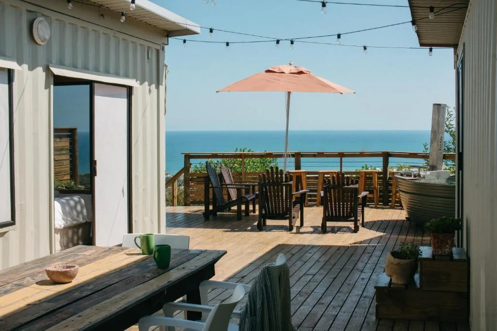
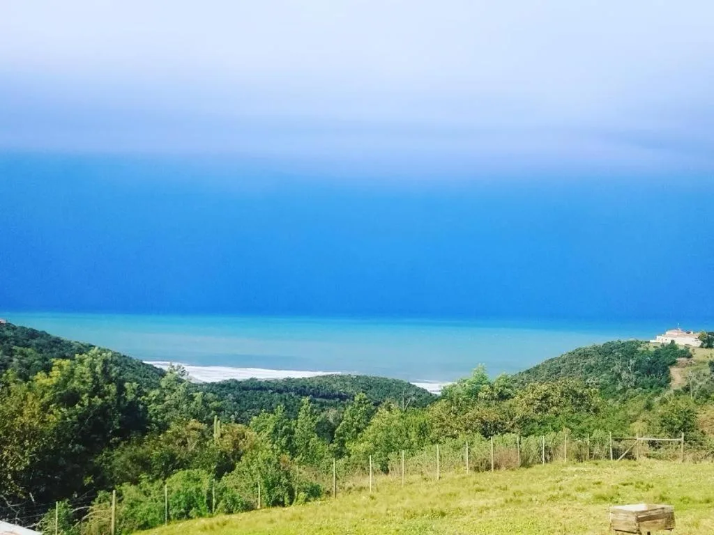
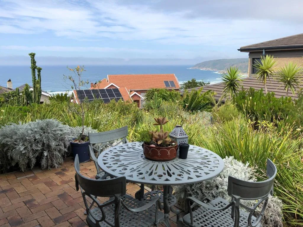
Wilderness suits self-catering better than almost anywhere on the route. The village is built for holiday homes — cottages on the lagoon, houses a short walk from the beach, and quiet retreats up in the forest and hills. Cooking in, walking to the sand, and settling in for a few nights is exactly how the place is meant to be enjoyed. For campers and budget travellers, Ebb-and-Flow Rest Camp inside the national park is hard to beat for setting.
Here are two that consistently earn top marks from guests:
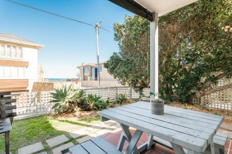
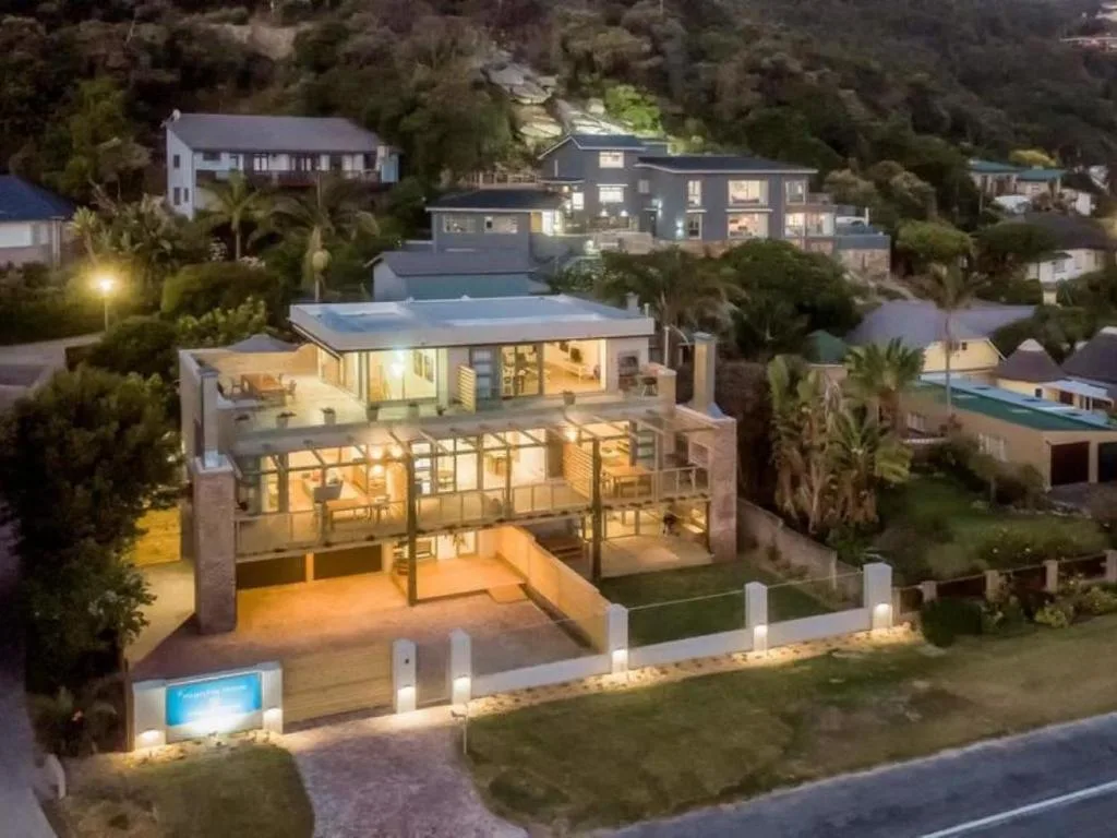
You can browse all the self-catering places in Wilderness and check live availability through our listings.
Garden Route Stays lists self-catering places through Booking.com and may earn a small commission when you book through our listings — at no extra cost to you. We only feature places we'd be happy to stay in ourselves.
Practical Tips for Visiting Wilderness
| Nearest airport | George (GRJ), about 23.5km / 19 minutes away |
| Getting there | N2 from George over the Kaaimans River Pass; a hire car is strongly recommended |
| Park payments | Card only — the Garden Route National Park is cashless |
| The beach | Wilderness Beach — Blue Flag 2025/26; swim between the flags, mind the rip currents |
| Day visitors | Ebb-and-Flow day visitors typically until 17h30 |
| Best for | Lakes and forest trails, quiet beach days, birding, paragliding |
A few last things I'd tell a friend: fill up and draw cash in George before you settle in, because the village is small. Keep a light rain jacket handy in any season — the forest earns its green. And give yourself at least two nights. Wilderness doesn't do rushed; the whole point of the place is to stop.
Sources
- Visit George — About Wilderness
- George Municipality — Blue Flag Beaches
- Garden Route District Municipality — Blue Flag media release, 11 November 2025
- George Municipality — Rip currents in the Garden Route
- George Trails — Half-Collared Kingfisher Trail
- The Heritage Portal — Kaaimans River Railway Bridge declared a Provincial Heritage Site
- Wikipedia — Garden Route National Park
- Wikipedia — Outeniqua Choo Tjoe
- SA-Venues — Wilderness, Garden Route
Where Wilderness stays sit
Every listing plotted, with attractions dotted around it. Tap a navy pill to see the stays in that cluster.
Frequently asked questions
What is there to do in Wilderness, South Africa?
Walk the Half-Collared Kingfisher Trail to a forest waterfall, canoe the Touw River from Ebb-and-Flow, drive up to the Map of Africa viewpoint, swim at the Blue Flag beach, and visit the 800-year-old Woodville Big Tree.
Why is it called the Map of Africa?
From the Wilderness Heights viewpoint, the Kaaimans River loops through the forested valley in a bend that mirrors the shape of the African continent seen from space — which is how the viewpoint got its name.
What is the nicest town on the Garden Route?
It's subjective, but Wilderness is the quiet favourite — a lakes-and-forest village with a Blue Flag beach and none of the big-town bustle. Knysna and Plettenberg Bay are the livelier alternatives close by.
How many days do you need for the Garden Route?
Five to seven days lets you drive the whole route without rushing. For Wilderness on its own, two to three nights covers the beach, the national park trails and the Map of Africa viewpoint comfortably.
What is the prettiest beach in South Africa?
Wilderness Beach is a strong contender — roughly 8km of sand between the Kaaimans and Serpentine river mouths, backed by forested cliffs, and Blue Flag accredited for the 2025/26 season.