
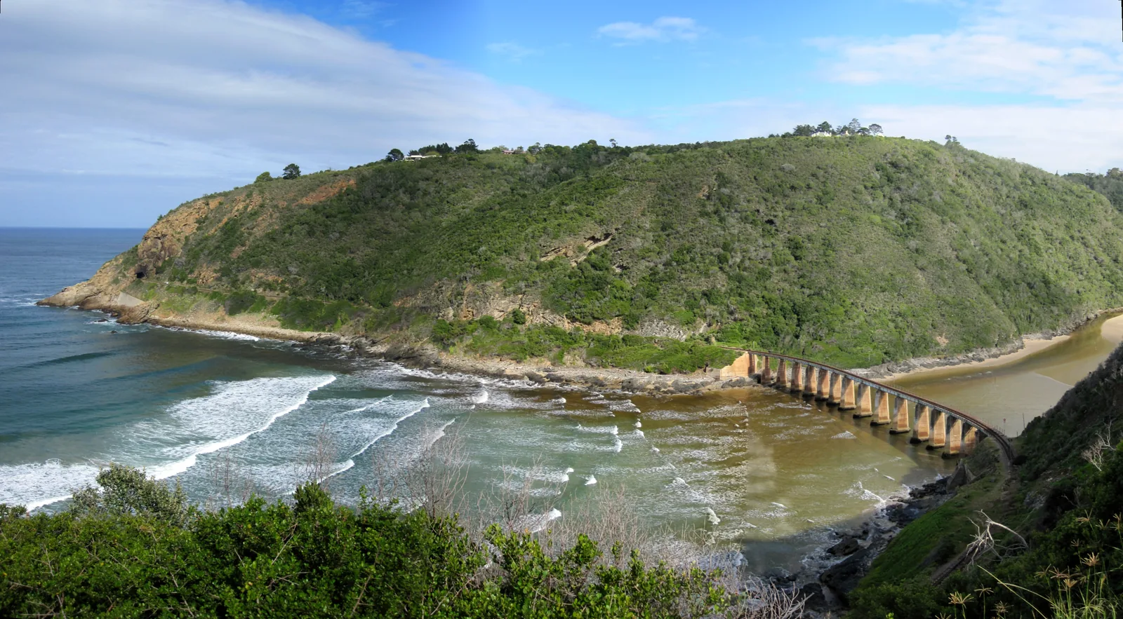
Driving the Garden Route is the whole point of the trip. This isn't a coast you fly over or bus between — it's a short, scenic run of the N2 where the towns sit close enough together that you can move on after breakfast and be swimming somewhere new by lunch. The driving is easy, the distances are small, and the road does most of the scenic work for you.
This is the practical version — distances, drive times, which direction to go, how many days you need, car hire, tolls and safety. For the wider picture of when to visit and what each town does best, read our Garden Route Travel Guide; for a day-by-day plan, our 7-day Garden Route itinerary does the town-by-town execution. This post is about the road itself.
The Garden Route in one line: where it starts, ends and how far it really is
The Garden Route runs along the N2 from Mossel Bay in the west to Storms River in the Tsitsikamma in the east — about 210 km of coast. That's the stretch nearly everyone means, though you'll see it stretched westward to Witsand or eastward past the Bloukrans Bridge depending on who's drawing the map. If you want the full boundary debate, we settle it in where the Garden Route starts and ends.
What matters for driving is that 210 km is nothing. You could cover it in a single unhurried morning. Nobody does, because the point is to stop — at a lagoon, a forest boardwalk, a beach, a farm stall, a viewpoint over the Heads. Think of the N2 here less as a road to get down and more as a spine you keep stepping off.
Garden Route driving distances and times: a town-by-town matrix
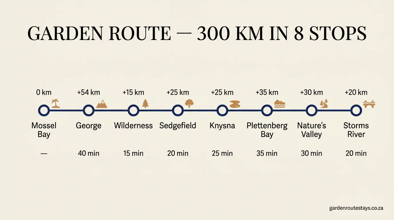
Here's the part most itinerary posts bury. These are the real leg-by-leg distances and drive times along the N2, west to east. Times are honest — they assume town speed limits, the odd pass, and that you're not treating the N2 as a racetrack.
| Leg | Distance | Drive time |
|---|---|---|
| Mossel Bay → George | 50 km | 40 min |
| George → Wilderness | 16 km | 15 min |
| Wilderness → Sedgefield | 23 km | 20 min |
| Sedgefield → Knysna | 25 km | 25 min |
| Knysna → Plettenberg Bay | 32 km | 35 min |
| Plettenberg Bay → Storms River | 62 km | 50 min |
| Mossel Bay → Storms River (total) | ~208 km | ~3h 5m |
A few things to read off it. The Knysna to Plettenberg Bay leg — the one people search for most — is 32 km and about 35 minutes on the N2; the two towns are close enough that you can stay in one and eat dinner in the other. No single leg on the core route is more than an hour. And Nature's Valley, which you'll want to see, isn't on the N2 — it's a detour down the steep Grootrivier Pass, adding roughly 29 km from Plett. Include that loop and the whole trip nudges up to about 230 km, which is what the map below counts.
Which direction: driving the Garden Route west or east?
Most people drive it west to east — starting in Mossel Bay (or Cape Town, four and a half hours further west) and finishing at Storms River. There's no scenic penalty either way; the coast is just as good in reverse. But three things tip the decision.
First, where you fly. If you're flying into Cape Town and out of Port Elizabeth (Gqeberha), west-to-east is the natural flow and you never double back. If you're flying in and out of George Airport — which sits right in the middle of the route — you can run east to Storms River, then west to Mossel Bay, and hand the car back where you started.
Second, one-way car-hire fees. Picking up in Cape Town and dropping in PE usually carries a one-way drop charge. Returning the car to the same airport avoids it — worth checking against the cost of the extra driving.
Third, the sun. Driving east in the late afternoon keeps it behind you; heading west into a low sun on the N2's curves is tiring. Minor, but it's a reason to do your longer legs in the morning.
How many days do you need to drive the Garden Route?
You can technically "do" it in a long day. You shouldn't. The honest answer is five to seven days — enough to give Knysna and Plettenberg Bay two nights each and still fit Wilderness, Mossel Bay and a half-day in the Tsitsikamma without rushing.
- 3 days — a tick-box run. One night in Knysna, one in Plett, a lot of driving past things you'll wish you'd stopped for.
- 5 days — the practical minimum. Two nights Plett, two nights Knysna, one at Wilderness or Mossel Bay. Covers the headline stops.
- 7 days — the sweet spot. Adds breathing room for the Robberg hike, a whale-watching boat in season, a Sedgefield farmers' market morning, and the Storms River suspension bridge.
- 10+ days — for slowing right down, adding Oudtshoorn and the Cango Caves over the Outeniqua Pass, or just doing less each day.
Because the legs are so short, extra days buy you stopping time, not driving time. That's the whole trick to pacing the Garden Route — plan around the places, not the kilometres.
Car hire for driving the Garden Route: what to check
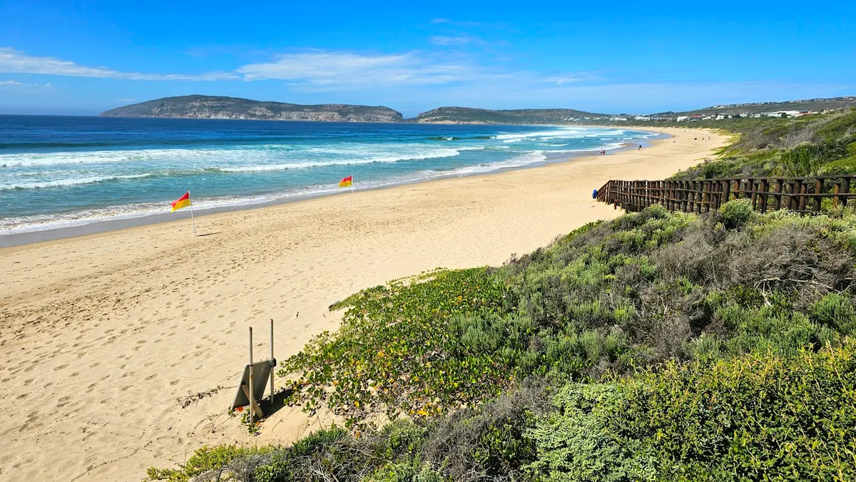
You don't need a 4x4 — the N2 and every town road is tar and in good shape. A normal hatchback or sedan does the whole route, including the Outeniqua Pass. Book a slightly bigger engine if you're two-plus people with luggage, purely for the passes. Confirm the hire includes unlimited kilometres (some SA rates cap them), check the one-way drop fee if you're not returning to the same branch, and make sure you're covered for the gravel if you plan to drop into Nature's Valley or explore back roads. Pick the car up with a full tank and a working spare.
Is the N2 a toll road? Fuel, filling up and the Tsitsikamma toll plaza
Mostly no. The N2 through the core Garden Route is toll-free — you can drive Mossel Bay to Plettenberg Bay without paying a cent. The one exception is at the eastern end: the Tsitsikamma Toll Plaza, just past Storms River, is the only mainline toll on the N2 between Cape Town and Gqeberha. It's around R73 for a car (2026) — keep some cash or a card handy, though you only hit it if you're driving through to the Eastern Cape.
Fuel is easy. There are filling stations in every town and at the big N2 stops, most with a shop and decent coffee. South Africa has no self-service — an attendant fills up for you, and a small tip (R5–R10) is normal. Don't run the tank low between towns expecting a 24-hour station on the open stretches; fill up in Mossel Bay, Knysna or Plett rather than gambling on the gaps.
Road conditions: is the Garden Route safe for driving?
The N2 through the Garden Route is one of the easier drives in South Africa — a well-maintained, mostly single-carriageway national road with regular towns, fuel and cell signal. It's a very different proposition from the townships and back roads around the big cities. For a self-drive holiday, the practical safety advice is ordinary road-trip sense:
- Don't drive at night on the open stretches if you can help it. The real rural hazards here are unfenced livestock, the occasional pedestrian, and poorly lit shoulders — all much worse after dark. Do your driving in daylight; the views are the point anyway.
- Take a break every two hours or 200 km. On a route this short you'll be stopping at towns constantly, so fatigue rarely bites — but the N2's passes and curves demand more attention than open highway.
- Lock up and don't leave valuables visible in a parked car at trailheads and viewpoints, same as anywhere.
- Watch overtaking on single lanes. Trucks use the N2; wait for a marked passing stretch rather than forcing it on a blind rise.
Do those and the Garden Route is a relaxed, low-stress drive — one of the reasons it's South Africa's most popular self-drive holiday.
Scenic passes and detours worth driving off the N2
The N2 itself throws in a few passes — the coastal Kaaimans River Pass between George and Wilderness is a quick, dramatic one, dropping to a rail bridge over the river mouth. But the passes worth a deliberate detour climb off the coast:
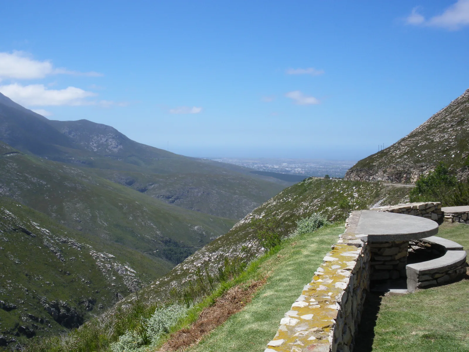
- Outeniqua Pass (N9/N12) — the modern tar pass out of George, up over the Outeniqua Mountains to the Klein Karoo and Oudtshoorn (the Cango Caves, ostrich farms). It's a 20-odd-minute climb with pull-offs and big views back over George to the sea. Easy in any car.
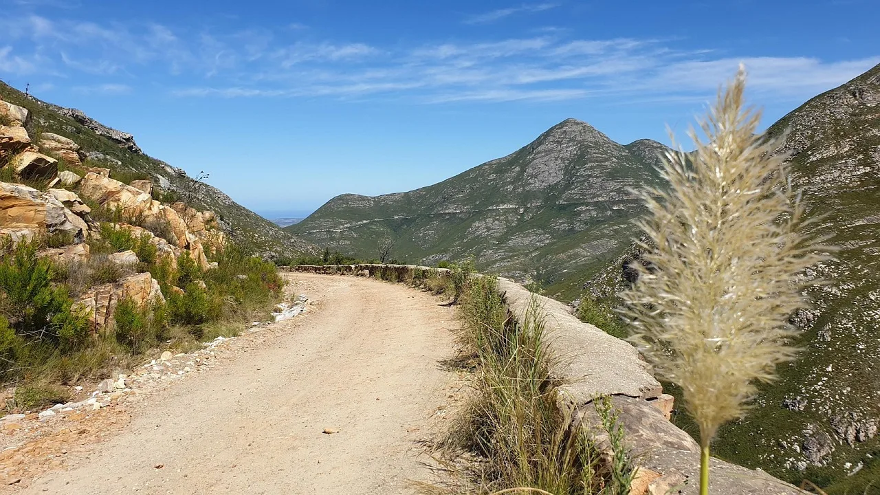
- Montagu Pass — the historic gravel pass running parallel to it, built in the 1840s. Slower, rougher, and a proper piece of Cape history if you've got the time and a car you don't mind on gravel.
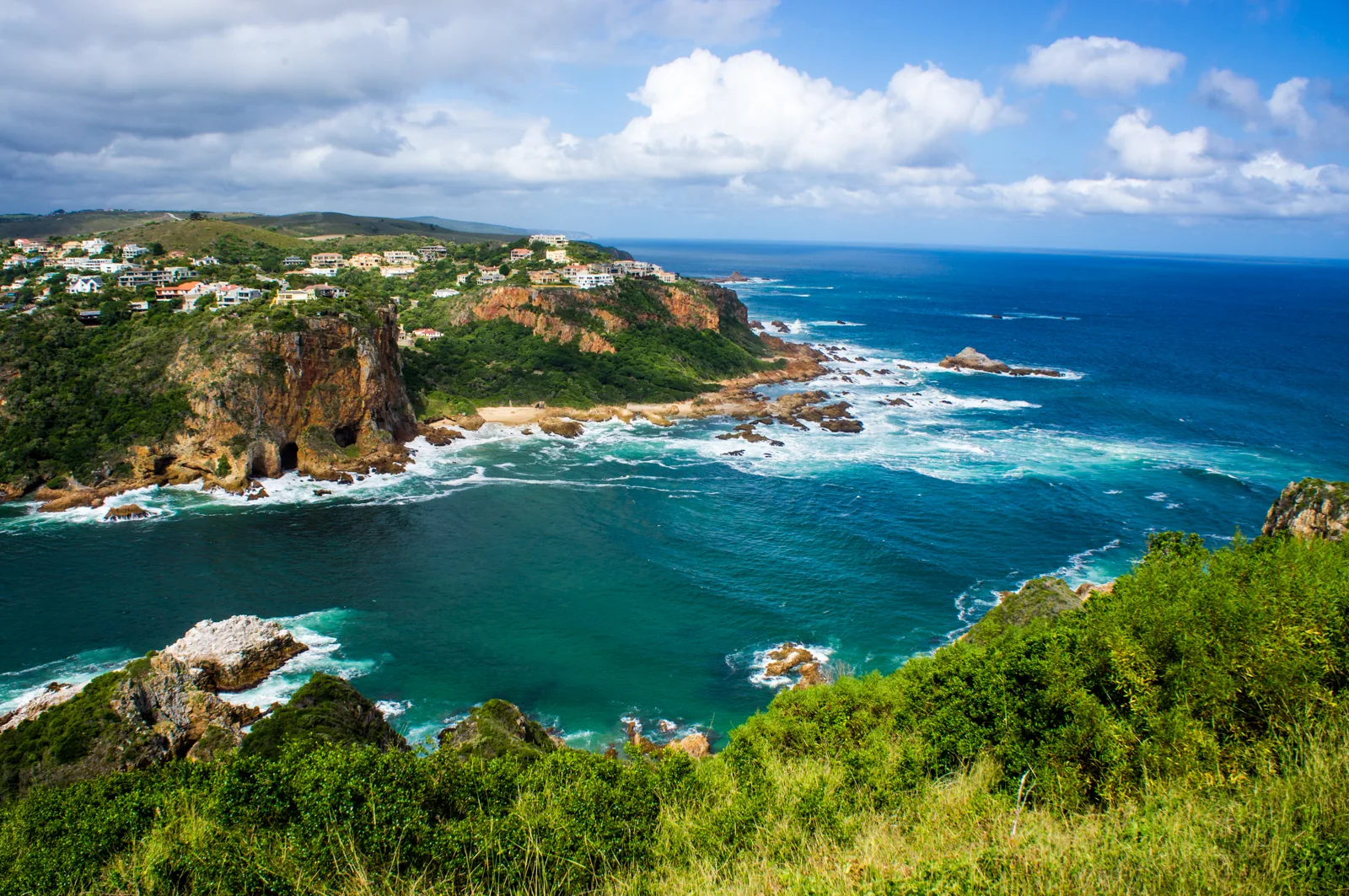
- The Heads, Knysna — not a through-road but a short, steep drive up to the viewpoint over the lagoon mouth. Ten minutes from town and one of the best views on the whole route.
If your car hire is comfortable on tar and you've got a spare day, the Outeniqua Pass to Oudtshoorn is the classic Garden Route detour — an easy add that swaps forest and sea for semi-desert in half an hour.
Bloukrans Bridge, Nature's Valley and Storms River: the eastern end
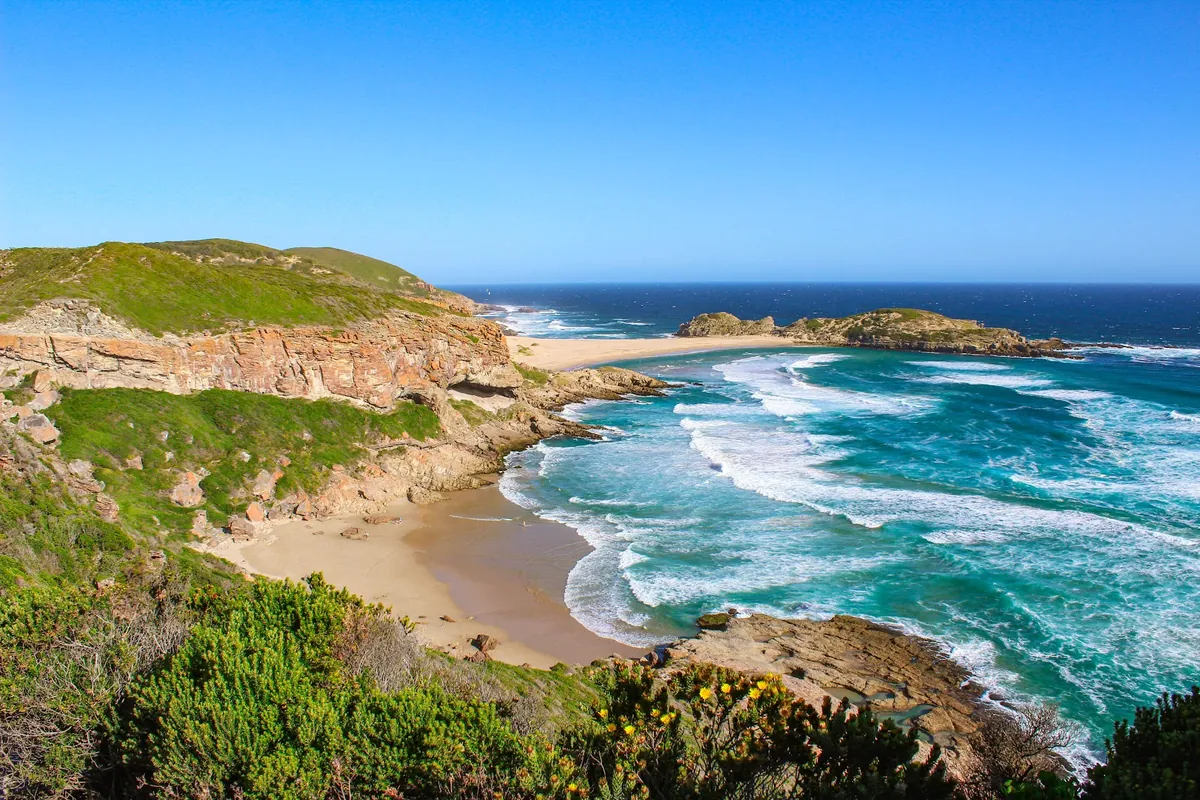
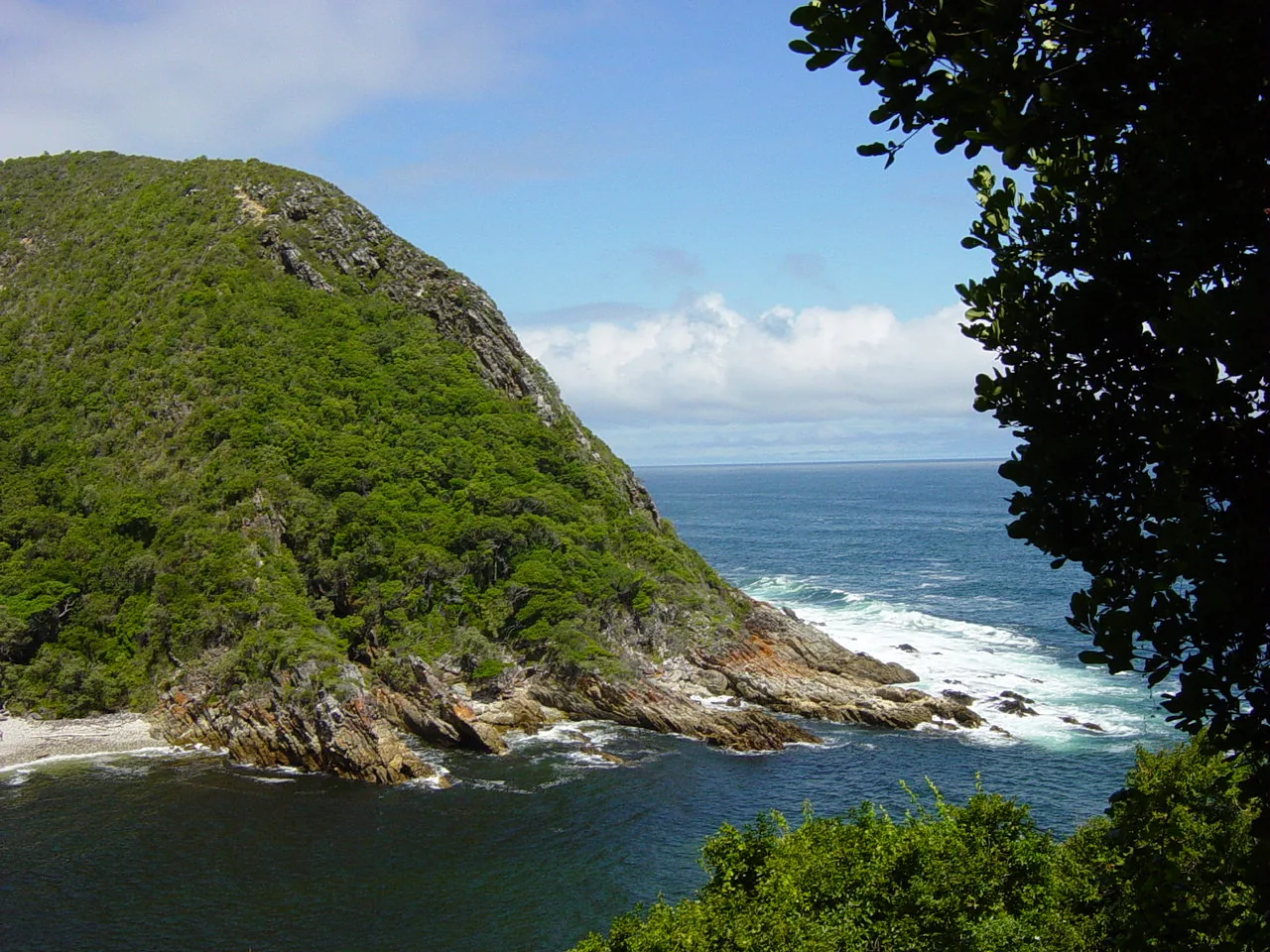
The last stretch, from Plettenberg Bay east, is where the Garden Route saves some of its best. Nature's Valley sits down a detour off the N2 via the Grootrivier Pass — a small forest-and-beach village with almost nothing built on it, and worth the winding drive down. Back on the N2, the road crosses the Bloukrans Bridge, at 216 m the site of the world's highest commercial bridge bungee (run by Face Adrenalin) — you can stop at the viewpoint whether or not you're jumping.
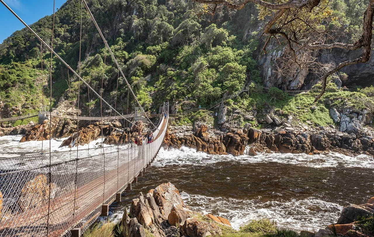
A little further and you reach Storms River and the Tsitsikamma — the Paul Sauer Bridge over the gorge, the national park, and the famous suspension bridge over the Storms River Mouth. This is the eastern bookend: the point where the coast turns wilder, the forest thickens, and the Garden Route hands over to the Eastern Cape.
Where to stay along the route: basing yourself town by town
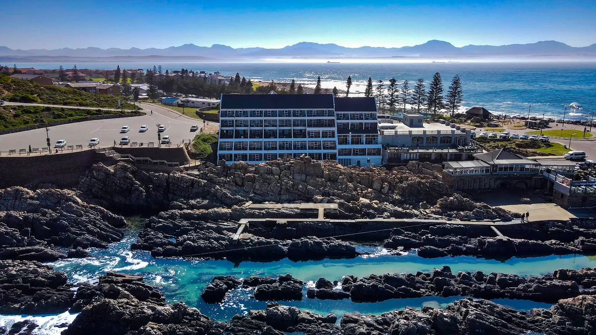
Because the legs are so short, you don't need to change accommodation every night. The smart play is to pick two bases and day-trip out. For most first-timers that's Knysna and Plettenberg Bay — central to the eastern half, close to each other, and with the most to do within a 30-minute drive. Add a night at Wilderness or Mossel Bay if you're coming from the George or Cape Town side.
We list self-catering places to stay in all six towns, so you can match the base to the trip — a lagoon-side apartment in Knysna, a beach house near the sand in Plettenberg Bay, or a forest-and-river cottage at Wilderness. Self-catering suits a road trip especially well: you can shop at the local farm stalls and Sedgefield markets, cook when you get in late from a drive, and keep the trip flexible rather than tied to restaurant bookings. If you're weighing the two main bases against each other, our Plettenberg Bay vs Knysna comparison breaks down which suits which kind of trip.
Driving the Garden Route rewards the unhurried. The distances are short by design, the road is easy, and the whole trip works best when you treat the N2 as a series of reasons to stop rather than a distance to cover. Pick your bases, keep your driving to daylight, and let the coast set the pace.
Frequently asked questions
How long does it take to drive the Garden Route?
The pure driving is short — about 210 km from Mossel Bay to Storms River (nearer 230 km if you loop through Nature's Valley), roughly three hours without stops. Almost nobody drives it in a day, though. Most people spread it over four to seven days so the beaches, forest and passes actually get their due.
What is the best way to do the Garden Route?
Self-drive, west to east, over five to seven days. Hire a car in Cape Town or fly into George and pick one up there, then base yourself two nights each in Knysna and Plettenberg Bay with shorter stops at Wilderness and Mossel Bay. The route is about stopping, not covering ground.
Is it worth doing the Garden Route?
Yes. It packs beaches, indigenous forest, lagoons, mountain passes and whale-watching into a stretch of coast you can drive in an afternoon. The short distances are the appeal — you swap towns without long transfers, so most days involve under an hour behind the wheel.
What is the nicest town on the Garden Route?
It depends on what you're after. Plettenberg Bay has the best beaches, Knysna the lagoon and the Heads, Wilderness the forest-and-river feel, Mossel Bay the history. For a first visit, base yourself in Plett or Knysna — they have the most to do within a short drive.
Where does the Garden Route stop and start?
Conventionally the Garden Route runs from Mossel Bay in the west to Storms River in the Tsitsikamma in the east — about 210 km along the N2. Some definitions stretch it to Witsand or Nature's Valley, but Mossel Bay to Storms River is the stretch nearly everyone means.