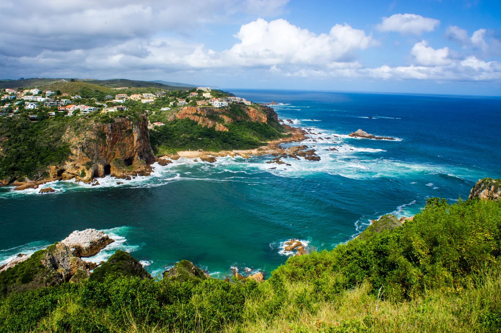
The Knysna Heads are the single reason most Garden Route first-timers end up in Knysna rather than driving straight to Plett. Two sandstone cliffs framing a narrow channel where a 1,633-hectare tidal estuary meets the Indian Ocean — it's a landmark that photographs well, but the thing you learn standing at the viewpoint is that photographs don't prepare you for the force of the water. I've been coming back to Knysna since childhood, and the Heads still stop me every time. This is the guide I'd hand a friend who had a free afternoon in town and wanted to actually understand what they were looking at.
The rest of this piece is the detail — where to actually drive, what to see on each Head, the safety context nobody writes down properly, and the Knysna stays that put the view on your deck.
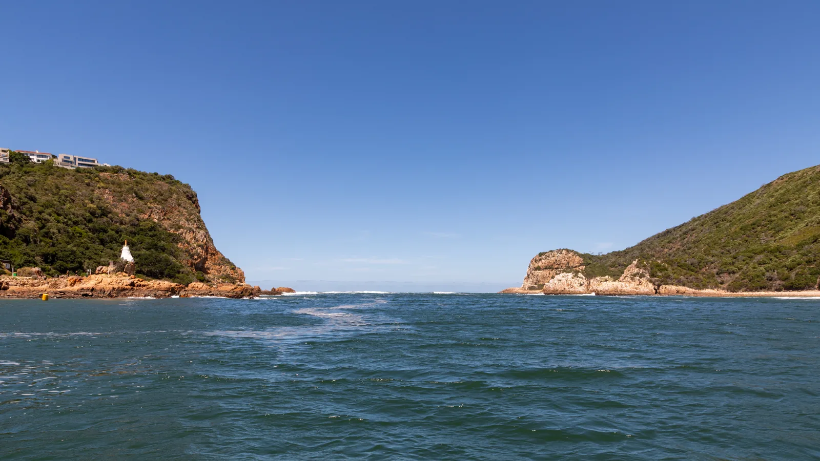
What are the Knysna Heads?
Strip away the tourism copy and here's what you're looking at. The Knysna Heads are two sandstone peninsulas, Eastern and Western, that enclose the mouth of the Knysna estuary. They're separated by around 300 metres of open water, but the navigable channel between them is much narrower — roughly 90 metres of deep water, flanked on both sides by submerged rock shelves that have claimed more than a century of shipping.
Geologically, the cliffs are table-mountain sandstone, carved out over a very long time. Visit Knysna's own history traces the formation back to the break-up of Gondwana in the Jurassic, around 180 million years ago. What you're standing on at the viewpoint is old rock — older than the Atlantic Ocean — reshaped into its current form by a few million years of the Knysna River cutting through it and a few thousand by the sea wearing it back.
The lagoon behind them isn't strictly a lagoon. It's a tidal estuary, 1,633 hectares, fed by the Knysna River from the north and flushed twice a day through the Heads by the tides. That tidal exchange is why the oysters are good and why the Heads are dangerous — a huge volume of water has to get through that 90-metre gap every six hours, and it does so fast.
How to see the Knysna Heads
The short answer: drive to the Eastern Head. It's the only one with public road access, and it costs nothing.
From the middle of Knysna, head south-east along George Rex Drive — it leaves the waterfront and climbs gently along the lagoon's eastern shore. After about 3 km you'll see signs for the Heads. Turn up Coney Glen Road, which switchbacks up the hillside and brings you out at a small car park and the Heads Viewpoint. The whole drive is under 10 minutes from the Waterfront.
At the top you get three things stacked close together:
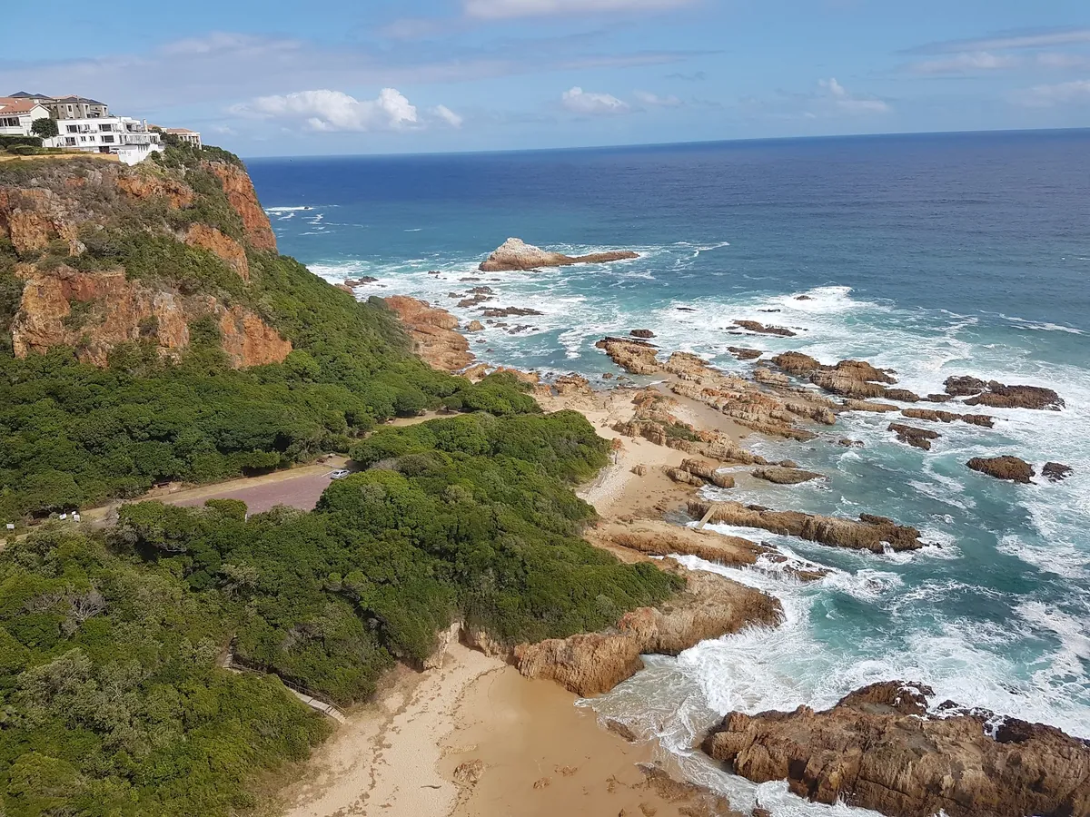
- The Heads Viewpoint — a railed platform looking directly across the channel at the Western Head, with Coney Glen Beach directly below and the surge between the two Heads in the foreground. Best photography light is late afternoon when the western cliffs catch the sun.
- East Head Café — right at the viewpoint, good coffee, decent lunches, and a deck that hangs almost over the channel. It gets busy at weekends.
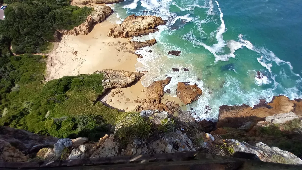
- Coney Glen Beach — accessible by a stepped path from the viewpoint, a tiny cove of sand and tidal rocks tucked at the base of the cliffs. Protected, photogenic, and safe enough to paddle (not swim) in the shallows.
For a second angle, drive out on George Rex Drive a bit further to Fountain Point — there's a short pathway here that gets you down to water level at the base of the Eastern Head. The Paquita shipwreck sits on the rocks here, now a popular dive site, and you can scramble around the tidal pools if the sea is calm.
Eastern Head vs Western Head — which to actually visit
Most visitors only see the Eastern Head, and that's fine for a single afternoon. If you have a second day, the Western Head is worth the effort, but understand the split before you plan.
The Eastern Head is the one on your right as you look seawards from the lagoon. It's public, road-accessible, free, and compact — you can cover the viewpoint, a coffee, Coney Glen Beach and Fountain Point in two hours. This is where 95% of the "I saw the Heads" photos are actually taken.
The Western Head is the one on the left. It's inside the Featherbed Nature Reserve, a 150-hectare private reserve and South African Heritage Site No. 59. There's no road in — you take a ferry from the Knysna Waterfront, a 4x4 drives you up the Western Head's spine, and you walk a 2.2 km coastal track back down through fynbos and milkwood forest. It's a 4-hour experience, includes a buffet lunch at the reserve's Forest Restaurant, and it's the only way to see the Heads from the other side. Book ahead in summer.
What the Western Head gives you that the Eastern doesn't: a top-down view across the channel looking east, the Khoi San sea caves on the ocean side, a handful of Blue Duiker sightings if you're lucky (one of the world's smallest antelope, about 30 cm tall), and the genuine silence of a reserve where no cars go. What it costs: time, plus a booked adult ticket — tiers depend on whether you include the lunch deck experience.
If I had only one afternoon in Knysna, I'd do the Eastern Head and skip Featherbed. If I had two, I'd do Featherbed on day one and the Eastern Head at sunset on day two.
Why the channel is dangerous — a bit of history
Here's the part travel blogs skip. The Knysna Heads have a genuine reputation as one of the most lethal harbour entrances in the world. The British Royal Navy is widely quoted describing it in exactly those terms, and if you stand at the viewpoint for fifteen minutes watching the swell stack up against the rock shelves, you won't disagree.
Three factors compound:
- The channel narrows hard. At the mouth the gap is 300 m across, but the actual deep-water navigable passage is more like 90 m wide and it doesn't run straight — it dog-legs.
- Tidal flow is massive. A 1,633-hectare estuary drains and fills twice a day through that gap. On an ebb tide with a decent swell, the water going out collides with the swell coming in over the bars. Wave-against-current creates a stacked, confused sea that can overturn a small boat.
- Rock shelves on both sides. What looks like open water is often a few metres deep over submerged sandstone ledges. A boat that misses the centre of the channel grounds quickly.
The modern rule among Knysna Yacht Club skippers is not to attempt entry when swell is above about 2 metres, and to time it for the final hour before high water in daylight. In bad conditions, boats wait outside for days.
The best-known wreck is the Paquita, a German barque that struck the rocks below the Eastern Head on 18 October 1903. She was carrying coal to Knysna and probably — according to the Knysna Museum — ran on the rocks deliberately in an insurance scam; when divers went down later to blow her up and clear the hull, they found the anchor arranged in a way that suggested the stranding wasn't accidental. She's still there today, in about 12 metres of water, and she's now a popular local dive site.
The Emu was the first ship to attempt the passage, back in 1817, and set the pattern. Over the years the wreck count has stayed high enough that every commercial operator running the channel does so with deep local knowledge and a careful eye on conditions.
For visitors on land, none of this matters much — the cliffs and the beaches are safe. But do not let a calm-looking lagoon trick you into thinking the channel is benign. It isn't.
Can you swim at the Knysna Heads?
Short answer: not in the channel, yes in the sheltered pockets.
Visit Knysna is explicit — "The Knysna Heads is generally NOT safe for watersports – so no canoeing, kayking or swimming, please." The tidal currents in the channel are the reason. A swimmer caught in an outgoing tide there has no chance.
Where you can get in the water:
- Coney Glen Beach — the small sand cove at the base of the Eastern Head. Protected from the main channel by a rock spur. Paddling is fine at low-to-mid tide; actual swimming is risky because the rip currents that wrap around the rocks are unpredictable. Treat it as a beach to look at and stand at the edge of, not a swimming beach.
- Bollard Bay, Leisure Island — the genuinely safe swimming spot in Knysna. Shallow, sheltered, west-facing, and locals' pick for a picnic. About 4 km from the Heads back toward the Waterfront.
- Brenton-on-Sea — 22 km south-west, a long white-sand ocean beach that's Knysna's actual swimming beach. Surf, rip currents, but lifeguards in season.
If you came for ocean swimming, you're in the wrong town — Plett's six Blue Flag beaches are an easy 30-minute drive east and swim-friendly from late October to April. Knysna is a lagoon-and-forest town; the Heads are the scenery, not the beach.
Best time to visit the Knysna Heads
The Heads are a year-round stop. Unlike Plett's beaches, which close down emotionally in winter when the water drops to 16°C, the Heads just look like the Heads — in sun, fog, cross-wind, and especially during a winter swell when the white water hitting the cliffs is its most dramatic.
Early morning (before 9 am): empty viewpoint, soft eastern light on the Western Head, no café queue. Best for photography.
Late afternoon (4–6 pm): the money shot. Western light wraps around both cliffs, the lagoon behind you turns copper, and the café starts doing sundowners. If you're going once, go now.
Midday in December/January: busy and hot. Parking tightens at Coney Glen Road on peak-season Saturdays. Go early.
Winter (June–September): my personal favourite. Biggest swells, emptiest viewpoint, sharpest clarity, best whale-watching if Southern Rights drift through the bay (they more often pass Plett, but I've seen them at the Heads too). Pack a jacket — the cliffs funnel the wind.
In fog: don't bother. The whole thing disappears. Check the Knysna webcams before driving up.
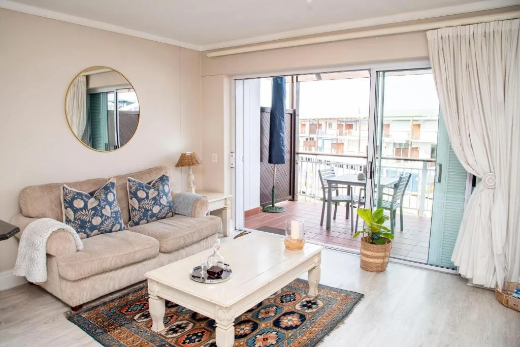
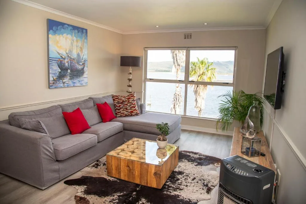
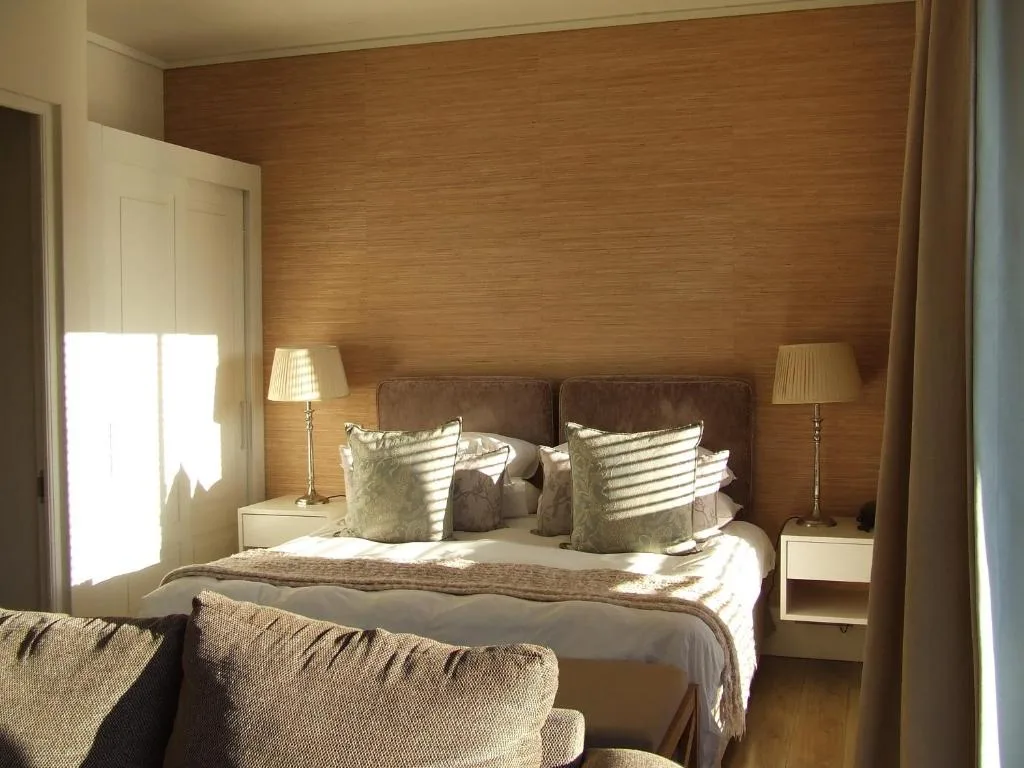
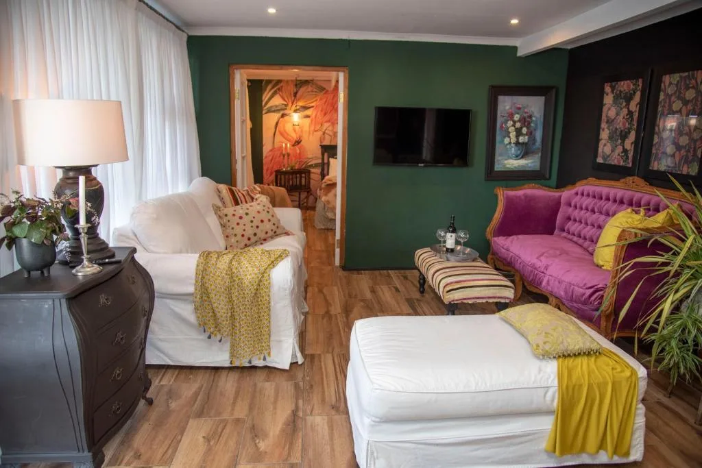
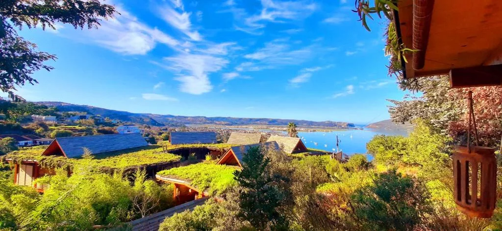
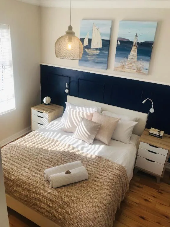
Where to stay with a view of the Heads
Three kinds of Knysna self-catering get you close. The properties below are all rated 9.7+ on Booking.com, all have lagoon or ridge views, and all are within a 10-minute drive of the Heads Viewpoint.
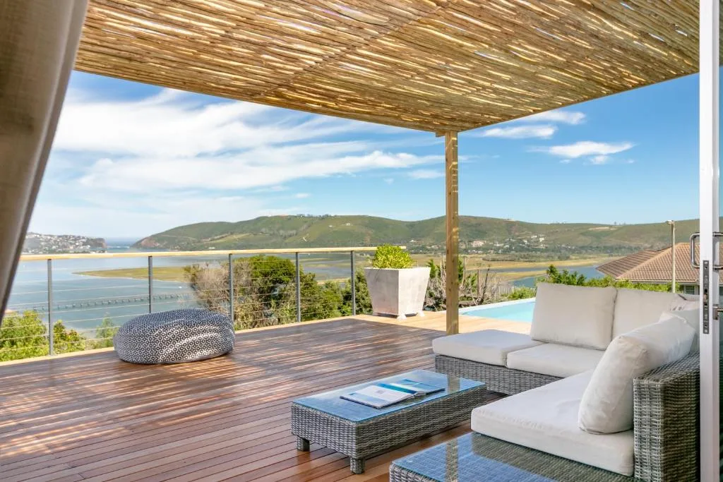
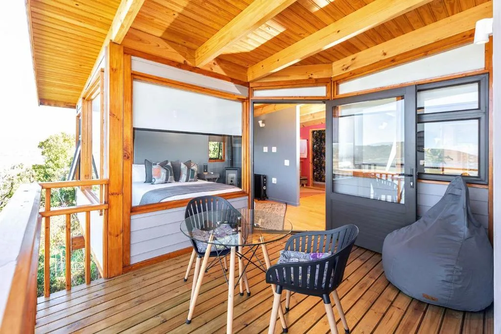
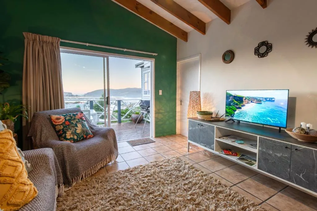
Most of the lagoon-view stock sits on three ridges — Paradise (closest to the Heads, mid-to-high price), the Eastern Head itself (premium), and Leisure Island (walkable, family-oriented). The map below shows the spread.
Eating at the Heads — and nearby
The Eastern Head has one proper restaurant at the top (East Head Café, already mentioned — good breakfast, fair coffee, stunning deck) and nothing else for a few kilometres. For a longer lunch or dinner, you'll head back to Knysna proper.
- The Knysna Waterfront — 10 minutes back toward town. 15+ restaurants within 5 minutes of each other, walkable after dark, and the centre of the town's food energy.
- Thesen Islands — 12 minutes from the Heads. Upmarket-modern, a handful of good restaurants on the canals, the Turbine Hotel for a proper dinner.
- Oysters specifically — 34° South at the Waterfront for the casual sit-down version; the annual Knysna Oyster Festival in July for the deep-dive.
If you're doing Featherbed, lunch is built into the ferry package and is genuinely good — buffet-style, served on the reserve's wooden deck under a milkwood canopy, about as close to "eat among the trees" as you'll get on a Garden Route holiday.
How the Heads fit into a Knysna trip
The Heads are a 2-3 hour stop, not a day. Here's how to weave them into a typical 2-3 night Knysna itinerary:
Day 1 — afternoon arrival: drop bags, walk the Waterfront, sundowners at the Eastern Head viewpoint around 5 pm. Dinner back at the Waterfront.
Day 2 — the lagoon day: morning ferry to Featherbed (Western Head — 4-hour experience with lunch). Afternoon free — Coney Glen Beach, oysters on Thesen Islands, or one of the other things to do on Knysna Lagoon like a paddle-cruise or sunset sail.
Day 3 — forest or beach: morning in Diepwalle or Goudveld forest (Big Tree circuit, Elephant Trail), or 30 minutes east to Robberg for a Plett day-trip — or stay in town and work through Knysna's other attractions. Late lunch, drive on.
If you only have a single night in Knysna — which is common on a 5-day Garden Route itinerary — pick one of the Heads and cut the other. Eastern Head at sunset is my default. Everything else can wait for next trip.
For the town context, I've written the Plett vs Knysna comparison as a companion guide — it covers the rest of what you'd pick Knysna over Plett for (and vice versa), including families, airports and value.
A note on safety in and around Knysna
While we're on safety, a quick broader point. Knysna is a small, generally safe Garden Route town — the Heads viewpoint, the Waterfront, Thesen Islands and Leisure Island are all fine to walk in daylight and most evenings. Standard South African care applies: park in well-lit areas after dark, don't leave valuables visible in the car at the Coney Glen Road viewpoint (break-ins happen), and avoid empty side streets late. Visit Knysna has a safety FAQ worth a skim if this is your first trip.
The Heads themselves have no safety issue beyond the water. Stay behind the rails, keep children off the unfenced rock edges (the drops are real), and don't get complacent about the cliffs for the sake of a photo.
Sources
- Visit Knysna — The Knysna Heads — geology, dimensions, safety
- Knysna Yacht Club — Enter Heads — channel conditions, navigation guidance
- Featherbed Co. — Featherbed Nature Reserve — Western Head access, ferry experience
- Featherbed Nature Reserve — Wikipedia — SA Heritage Site No. 59, 150 hectares
- Visit Knysna — Safety FAQ — general Knysna safety
- Visit Knysna — Lagoons and estuaries — lagoon size (1,633 ha)
Where Knysna stays sit
Every listing plotted, with attractions dotted around it. Tap a navy pill to see the stays in that cluster.
Frequently asked questions
What are the Heads in Knysna?
The Knysna Heads are two sandstone headlands — Eastern and Western — that frame the narrow channel between Knysna Lagoon and the open Indian Ocean. They sit around 300 metres apart, with a navigable channel roughly 90 metres wide between them. The lagoon behind them covers about 1,633 hectares and is technically an estuary, not a lagoon.
How to see Knysna heads?
Drive to the Eastern Head — it's the only one with public access. Follow George Rex Drive out of Knysna, then Coney Glen Road up the hill; the Heads Viewpoint is signposted at the top. Parking is free, there's a café at the summit, and Coney Glen Beach is a 5-minute walk down. The Western Head is inside the Featherbed Nature Reserve and is ferry-only.
Is there parking at the Knysna Heads viewpoint?
Yes. A small free car park sits right at the Heads Viewpoint on the Eastern Head, at the top of Coney Glen Road. There's no entrance fee. It's a compact lot, so it tightens on peak-season Saturdays and over December-January — arrive before 9 am if you want an easy space. Don't leave valuables visible in the car; break-ins happen at the Coney Glen Road viewpoint.
Is there an entrance fee for the Knysna Heads?
No. Visiting the Eastern Head viewpoint, the East Head Café deck and Coney Glen Beach is completely free, with free parking at the top. The only paid option is the Western Head, which sits inside the Featherbed Nature Reserve — that's a ticketed ferry-and-4x4 experience booked through the reserve, not a road you can drive.
Is it worth going to Knysna?
Yes, largely because of the Heads. They're the signature Garden Route landmark and a quick, free stop — 20 minutes at the viewpoint covers it, but most visitors end up staying longer. Beyond the Heads, Knysna has the lagoon itself, the Outeniqua forest, the Waterfront, and genuinely good oysters. It's worth at least two nights on any Garden Route trip.
Is Knysna lagoon safe to swim?
The lagoon's sheltered inner edges are fine — spots like Bollard Bay on Leisure Island have calm, shallow water. But the Heads themselves are not. Strong tidal currents pour through the 90-metre channel twice a day and the rocks below the cliffs are lethal. Swimming, kayaking and canoeing at the Heads are all advised against by Visit Knysna, and every summer someone tests that rule.
Is there a lagoon near Knysna?
Knysna is built around its lagoon — strictly speaking a tidal estuary fed by the Knysna River. It stretches 1,633 hectares from the Heads inland to Charlesford Weir and is the reason the town exists. The Heads are the mouth of it, where the estuary meets the sea.
Where can I watch the sunset in Knysna?
The Heads Viewpoint on the Eastern Head is the best sunset spot in Knysna if you want drama — the light wraps around the Western Head cliffs and the lagoon goes gold. For something calmer, Bollard Bay on Leisure Island faces due west across the lagoon and works well with a picnic.
Are the Knysna Heads safe?
Safe to look at, yes — the viewpoint and Coney Glen Beach are fine. Safe to sail through, not without local knowledge. The British Royal Navy is widely quoted describing it as one of the most dangerous harbour entrances in the world, and the Paquita shipwreck sits on the rocks below the Eastern Head as a reminder since 1903.